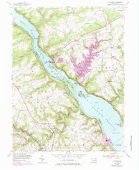
1955 Map of Holtwood
USGS Topo · Published 1984About this map
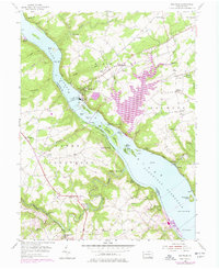
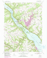
Holtwood Dam stands as the centerpiece of this mid-century landscape, harnessing the Susquehanna River and creating the distinct water levels of Lake Aldred and the Conowingo Reservoir. The map illustrates a complex industrial and transport network, with the Conrail line tracing the riverbanks and an Abandoned Canal hinting at earlier 19th-century trade routes. The terrain is deeply incised by tributaries like Tucquan Creek and Kellys Run, which flow through heavily wooded slopes toward the river's numerous islands, including Duncan Island and Piney Island.
Find a feature on this map
84 named features on this map. Tap any name to fly to it.
Don’t see what you’re looking for? This feature index may not catch every label — zoom into the map to look around manually.
Map Details
Editions of this 1955 Holtwood Map
6 editions found
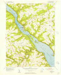
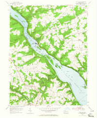
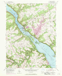
Other maps of this area

1900 · Havre De Grace
USGS Topo · 1:62,500

1901 · Belair
USGS Topo · 1:62,500

1912 · Quarryville
USGS Topo · 1:62,500

1912 · Mc Calls Ferry
USGS Topo · 1:62,500

1942 · Havre De Grace
USGS Topo · 1:62,500

1942 · Bel Air
USGS Topo · 1:62,500

1943 · Quarryville
USGS Topo · 1:62,500

1943 · Mc Calls Ferry
USGS Topo · 1:62,500

1945 · Bel Air
USGS Topo · 1:62,500

1948 · Baltimore
USGS Topo · 1:250,000
Featured Places
- Drumore Township, PA
- Martic Township, PA
- Lower Chanceford Township, PA
- Peach Bottom Township, PA
- Bethesda, Martic Township