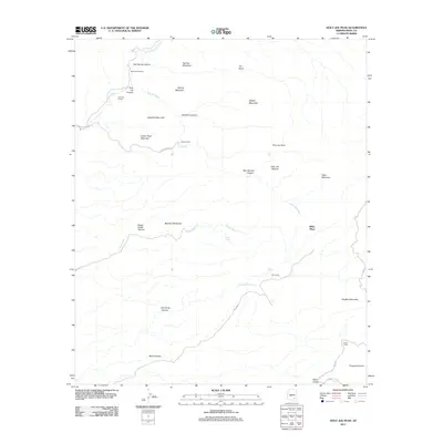
2011 Map of Holy Joe Peak
USGS Topo · Published 2011About this map
Holy Joe Peak rises as the central landmark in this high-desert landscape of Pinal County, where seasonal drainage systems and remote ranching outposts define the terrain. The northern reaches are characterized by the flow of Aravaipa Creek, flanked by Aravaipa Farms and Mounterest Ranch. A network of unpaved corridors, including Reese Ranch Rd and the rugged Rug Rd, connect isolated locations such as Blake Place and Reese Ranch. The map reveals a complex topography of named canyons and ridges, from the deep cuts of Skeleton Canyon and Holy Joe Canyon to the prominent heights of Satathite Mountain and Martinez Mountain. These features indicate a landscape shaped by both cattle ranching and historical transit, with cattle-working sites like Dry Camp and Horse Camp situated near ephemeral water sources like Zapata Wash and Buzzard Roost Spring.
Find a feature on this map
36 named features on this map. Tap any name to fly to it.
Don’t see what you’re looking for? This feature index may not catch every label — zoom into the map to look around manually.
Map Details
Editions of this 2011 Holy Joe Peak Map
This is the sole edition of this map. No revisions or reprints were ever made.
Other maps of this area

1911 · Winkelman
USGS Topo · 1:125,000

1913 · Winkelman
USGS Topo · 1:125,000

1938 · Galiuro Mts
USGS Topo · 1:48,000

1938 · Klondyke
USGS Topo · 1:48,000

1943 · Galiuro Mts
USGS Topo · 1:62,500

1943 · Klondyke
USGS Topo · 1:62,500

1948 · Clark Ranch
USGS Topo · 1:24,000

1948 · Mammoth
USGS Topo · 1:62,500

1948 · Mammoth
USGS Topo · 1:24,000

1949 · Clark Ranch
USGS Topo · 1:24,000