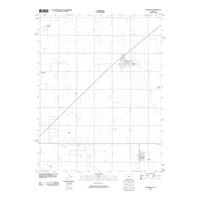
2009 Map of Holyrood
USGS Topo · Published 2009About this map
The town of Holyrood serves as the focal point of this Central Kansas landscape, where the agricultural grid meets the region's energy economy. At this time, the surrounding plains are dotted with significant petroleum infrastructure, including the Bloomer Oil Field, Kraft-Prusa Northeast Oil Field, and Heiken North Oil Field. These fields suggest a landscape defined by subsurface resources as much as surface farming.
Find a feature on this map
27 named features on this map. Tap any name to fly to it.
Don’t see what you’re looking for? This feature index may not catch every label — zoom into the map to look around manually.
Map Details
Editions of this 2009 Holyrood Map
This is the sole edition of this map. No revisions or reprints were ever made.
Other maps of this area

1891 · Great Bend
USGS Topo · 1:125,000

1893 · Great Bend
USGS Topo · 1:125,000

1894 · Ellsworth
USGS Topo · 1:125,000

1894 · Lyons
USGS Topo · 1:125,000

1896 · Russell
USGS Topo · 1:125,000

1955 · Great Bend
USGS Topo · 1:250,000

1956 · Ellinwood NE
USGS Topo · 1:24,000

1957 · Great Bend
USGS Topo · 1:250,000

1957 · Holyrood NE
USGS Topo · 1:24,000

1958 · Great Bend
USGS Topo · 1:250,000