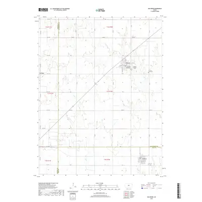
2018 Map of Holyrood
USGS Topo · Published 2018About this map
Holyrood serves as the primary hub of this Central Kansas landscape, positioned where the street grid of W Santa Fe Ave and S Pennsylvania Ave meets the open agricultural plains. The town is flanked by spiritual and civic landmarks, including Saint Paul's United Church of Christ Cem and the Holyrood Municipal Airport. To the south, the village of Bushton sits near the county line, marked by its own local landmarks such as Button Cem.
Find a feature on this map
54 named features on this map. Tap any name to fly to it.
Don’t see what you’re looking for? This feature index may not catch every label — zoom into the map to look around manually.
Map Details
Editions of this 2018 Holyrood Map
This is the sole edition of this map. No revisions or reprints were ever made.
Other maps of this area

1891 · Great Bend
USGS Topo · 1:125,000

1893 · Great Bend
USGS Topo · 1:125,000

1894 · Ellsworth
USGS Topo · 1:125,000

1894 · Lyons
USGS Topo · 1:125,000

1896 · Russell
USGS Topo · 1:125,000

1955 · Great Bend
USGS Topo · 1:250,000

1956 · Ellinwood NE
USGS Topo · 1:24,000

1957 · Great Bend
USGS Topo · 1:250,000

1957 · Holyrood NE
USGS Topo · 1:24,000

1958 · Great Bend
USGS Topo · 1:250,000