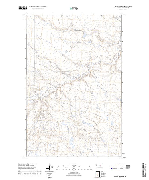
2024 Map of Holzhey Reservoir
USGS Topo · Published 2024About this map
Beaver Creek winds through this expanse of Phillips County, carving a path through the prairie landscape where Lonesome Coulee and Scott Coulee define the local topography. This 2024 survey captures the rural character of northern Montana, centered on the Holzhey Reservoir and the essential water management systems required for ranching in this arid region. The presence of the Midale Cem near the junction of Midale Rd provides a vital point of reference for genealogists tracking early families of the area. The map illustrates the continuing importance of the Public Land Survey System, showing the township and range divisions of t26n r28e and t25n r29e that have governed land ownership and access since the homesteading era.
Find a feature on this map
11 named features on this map. Tap any name to fly to it.
Don’t see what you’re looking for? This feature index may not catch every label — zoom into the map to look around manually.
Map Details
Editions of this 2024 Holzhey Reservoir Map
This is the sole edition of this map. No revisions or reprints were ever made.
Other maps of this area

1953 · Havre
USGS Topo · 1:250,000

1954 · Jordan
USGS Topo · 1:250,000

1954 · Glasgow
USGS Topo · 1:250,000

1954 · Lewistown
USGS Topo · 1:250,000

1956 · Jordan
USGS Topo · 1:250,000

1957 · Glasgow
USGS Topo · 1:250,000

1957 · Havre
USGS Topo · 1:250,000

1958 · Glasgow
USGS Topo · 1:250,000

1958 · Jordan
USGS Topo · 1:250,000

1958 · Havre
USGS Topo · 1:250,000