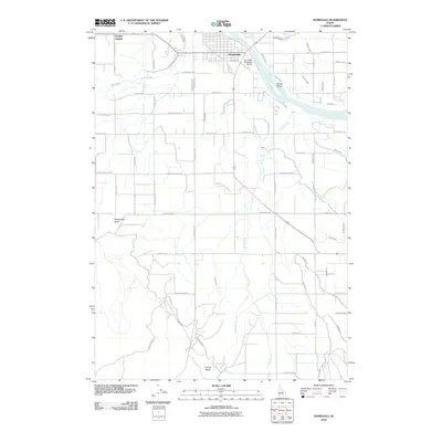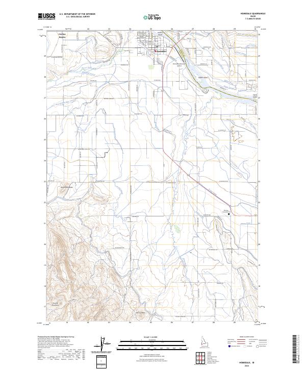
2024 Map of Homedale
USGS Topo · Published 2024About this map
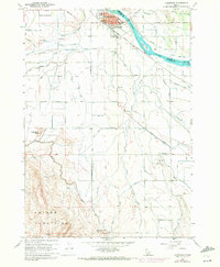
The Snake River winds through this agricultural and desert landscape, serving as a vital artery for the town of Homedale. The community’s reliance on water is evident in the dense network of irrigation infrastructure, including the A Line Canal, B Line Canal, and numerous laterals like the Needham Lateral and Lucy Lee Lateral. This sophisticated water management system supports the valley's farms between the rising slopes of the Owyhee Mountains to the southwest and the protected wetlands of the Deer Flat National Wildlife Refuge along the riverbanks.
Find a feature on this map
76 named features on this map. Tap any name to fly to it.
Don’t see what you’re looking for? This feature index may not catch every label — zoom into the map to look around manually.
Map Details
Editions of this 2024 Homedale Map
This is the sole edition of this map. No revisions or reprints were ever made.
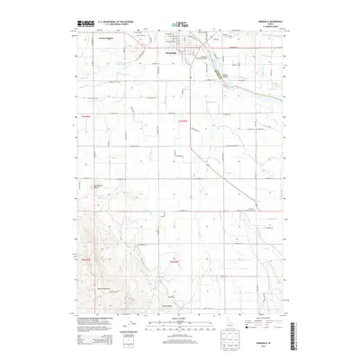
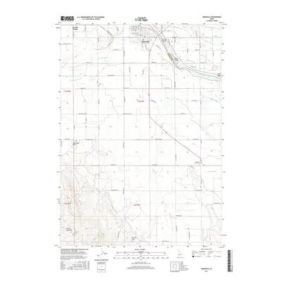
Historical Maps of Homedale Through Time
6 maps found