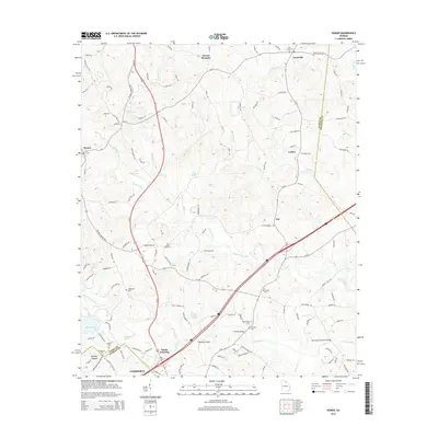
2014 Map of Homer
USGS Topo · Published 2014About this map
Homer and the surrounding Georgia landscape are defined by the convergence of agricultural roots and modern transit corridors in the early 21st century. The Hudson River meanders through the central terrain, bordered by numerous family and community landmarks such as McDonald Cem and the New Salem Covered Bridge. This area, situated along the border of Banks, Franklin, and Jackson Counties, shows a distinct transition from the older settlements of Mount Pleasant and Jewelville to the commercial development at Banks Crossing. Historic transportation routes like the Historic Homer Hwy run parallel to contemporary infrastructure, while names like Pottery Rd and Rattle Trap Rd reflect the local heritage. Genealogists will find a high density of burial sites, including Webbs Creek Cem and Beaverdam Cem, scattered across the undulating creek valleys of Nails Creek and Webb Cr.
Find a feature on this map
114 named features on this map. Tap any name to fly to it.
Don’t see what you’re looking for? This feature index may not catch every label — zoom into the map to look around manually.
Map Details
Editions of this 2014 Homer Map
This is the sole edition of this map. No revisions or reprints were ever made.
Other maps of this area

1891 · Gainesville
USGS Topo · 1:125,000

1891 · Carnesville
USGS Topo · 1:125,000

1954 · Greenville
USGS Topo · 1:250,000

1958 · Greenville
USGS Topo · 1:250,000

1964 · Commerce
USGS Topo · 1:24,000

1964 · Maysville
USGS Topo · 1:24,000

1964 · Ila
USGS Topo · 1:24,000

1964 · Ashland
USGS Topo · 1:24,000
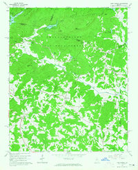
1964 · Lake Russell
USGS Topo · 1:24,000
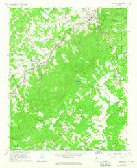
1964 · Baldwin
USGS Topo · 1:24,000