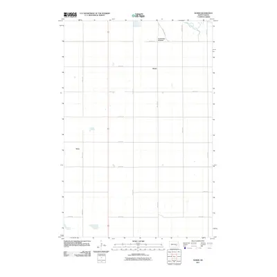
2011 Map of Homer
USGS Topo · Published 2011About this map
Jamestown Junction and the small settlement of Homer anchor this section of the North Dakota plains during the early 21st century. The landscape is defined by a rigid section-line grid of rural roads, including 82nd Ave SE and 45th St SE, which facilitate travel between scattered farmsteads. In the northeast corner, the James River meanders through the terrain, providing a natural break in the otherwise systematic agricultural layout. To the west, the location of Kloze sits along the section lines, while Route 281 serves as the primary north-south corridor through the central portion of the quadrangle. This survey illustrates the persistent importance of the section-line road network in organizing the rural economy and transportation of Stutsman County.
Find a feature on this map
19 named features on this map. Tap any name to fly to it.
Don’t see what you’re looking for? This feature index may not catch every label — zoom into the map to look around manually.
Map Details
Editions of this 2011 Homer Map
This is the sole edition of this map. No revisions or reprints were ever made.
Other maps of this area

1896 · Jamestown
USGS Topo · 1:125,000

1951 · Jamestown
USGS Topo · 1:24,000

1951 · Eldridge SE
USGS Topo · 1:24,000

1952 · Eldridge
USGS Topo · 1:24,000

1952 · Homer
USGS Topo · 1:24,000

1952 · Ypsilanti
USGS Topo · 1:24,000

1952 · Bloom
USGS Topo · 1:24,000

1953 · Jamestown
USGS Topo · 1:250,000

1953 · Montpelier
USGS Topo · 1:24,000

1953 · Montpelier NW
USGS Topo · 1:24,000