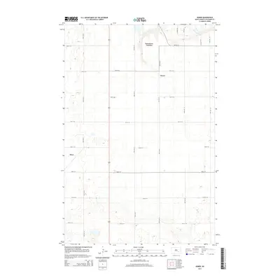
2014 Map of Homer
USGS Topo · Published 2014About this map
Homer and the surrounding prairie of Stutsman County are defined by a strict section-line grid and the winding path of the James River in this 2014 survey. The landscape is characterized by numerous small prairie potholes and depressions scattered across the agricultural terrain. Settlement is concentrated at small locales like Jamestown Junction and Kloze, which sit along the established transport corridors. The map details an extensive network of rural roads, including 82nd Ave SE and 45th St SE, which facilitate the movement of goods and people through this part of the North Dakota plains. The lack of dense urbanization highlighted here emphasizes the enduring rural character of the region, where the intersection of water resources and reliable road access remains central to the local geography.
Find a feature on this map
20 named features on this map. Tap any name to fly to it.
Don’t see what you’re looking for? This feature index may not catch every label — zoom into the map to look around manually.
Map Details
Editions of this 2014 Homer Map
This is the sole edition of this map. No revisions or reprints were ever made.
Other maps of this area

1896 · Jamestown
USGS Topo · 1:125,000

1951 · Jamestown
USGS Topo · 1:24,000

1951 · Eldridge SE
USGS Topo · 1:24,000

1952 · Eldridge
USGS Topo · 1:24,000

1952 · Homer
USGS Topo · 1:24,000

1952 · Ypsilanti
USGS Topo · 1:24,000

1952 · Bloom
USGS Topo · 1:24,000

1953 · Jamestown
USGS Topo · 1:250,000

1953 · Montpelier
USGS Topo · 1:24,000

1953 · Montpelier NW
USGS Topo · 1:24,000