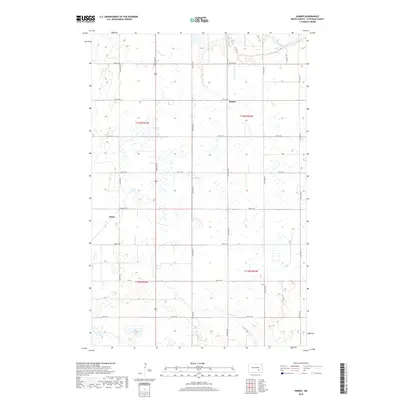
2018 Map of Homer
USGS Topo · Published 2018About this map
The James River winds through the northern portion of this prairie landscape, providing the primary topographical relief in an area dominated by agricultural sections. The small settlement of Homer sits near the river's path, while the community of Kloze is positioned to the west. The map reveals the rigid grid of the Public Land Survey System, with township boundaries like t139n r64w and t138n r63w defining the territory. This 2018 survey illustrates how the modern transportation network, including Co Hwy 39 and numerous local thoroughfares such as 83rd Ave SE and 40th St SE, continues to follow these historical section lines. The high density of small wetlands and prairie potholes across the terrain highlights the natural hydrology that persists alongside these rural developments.
Find a feature on this map
24 named features on this map. Tap any name to fly to it.
Don’t see what you’re looking for? This feature index may not catch every label — zoom into the map to look around manually.
Map Details
Editions of this 2018 Homer Map
This is the sole edition of this map. No revisions or reprints were ever made.
Other maps of this area
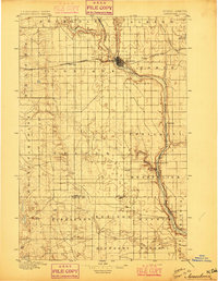
1896 · Jamestown
USGS Topo · 1:125,000
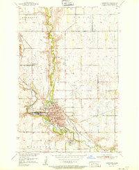
1951 · Jamestown
USGS Topo · 1:24,000
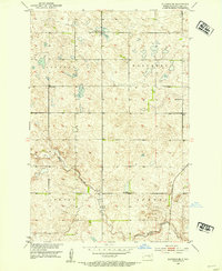
1951 · Eldridge SE
USGS Topo · 1:24,000
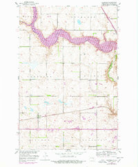
1952 · Eldridge
USGS Topo · 1:24,000
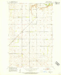
1952 · Homer
USGS Topo · 1:24,000
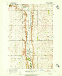
1952 · Ypsilanti
USGS Topo · 1:24,000
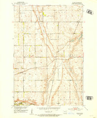
1952 · Bloom
USGS Topo · 1:24,000
1953 · Jamestown
USGS Topo · 1:250,000
1953 · Montpelier
USGS Topo · 1:24,000
1953 · Montpelier NW
USGS Topo · 1:24,000