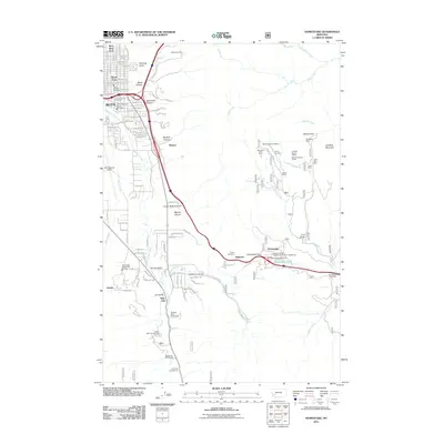
2011 Map of Homestake
USGS Topo · Published 2011About this map
The Continental Divide at Homestake Pass dominates the eastern landscape of this area, where mining history and modern transportation converge. Near the eastern edge of Butte, the industrial character of the region is evident in the cluster of hard-rock workings, including the Rising Sun Mine, Mountain Chief Mine, and Gold Flint Mine. The topography is defined by a series of dramatic drainages like Reese Canyon and Brookside Canyon, which fall toward the growing urban fringe.
Find a feature on this map
124 named features on this map. Tap any name to fly to it.
Don’t see what you’re looking for? This feature index may not catch every label — zoom into the map to look around manually.
Map Details
Editions of this 2011 Homestake Map
This is the sole edition of this map. No revisions or reprints were ever made.
Other maps of this area

1889 · Helena
USGS Topo · 1:250,000

1893 · Helena
USGS Topo · 1:250,000

1893 · Dillon
USGS Topo · 1:250,000

1899 · Boulder
USGS Topo · 1:125,000

1899 · Helena
USGS Topo · 1:250,000

1903 · Helena
USGS Topo · 1:250,000

1947 · Butte
USGS Topo · 1:250,000

1954 · Elk Park
USGS Topo · 1:62,500

1955 · Dillon
USGS Topo · 1:250,000

1957 · Dillon
USGS Topo · 1:250,000