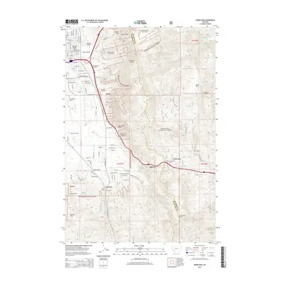
2014 Map of Homestake
USGS Topo · Published 2014About this map
The Continental Divide defines the crest of the Rocky Mountains as it cuts through the heart of the Deerlodge National Forest on this 2014 survey. This portion of the Divide is marked by the critical crossing at Homestake Pass, where transportation routes have historically navigated the elevation between the Atlantic and Pacific watersheds. To the west, the urban edge of Butte is visible near Floral Park and the Bert Mooney Airport, showing the transition from mountain wilderness to industrial and residential development.
Find a feature on this map
87 named features on this map. Tap any name to fly to it.
Don’t see what you’re looking for? This feature index may not catch every label — zoom into the map to look around manually.
Map Details
Editions of this 2014 Homestake Map
This is the sole edition of this map. No revisions or reprints were ever made.
Other maps of this area

1889 · Helena
USGS Topo · 1:250,000

1893 · Helena
USGS Topo · 1:250,000

1893 · Dillon
USGS Topo · 1:250,000

1899 · Boulder
USGS Topo · 1:125,000

1899 · Helena
USGS Topo · 1:250,000

1903 · Helena
USGS Topo · 1:250,000

1947 · Butte
USGS Topo · 1:250,000

1954 · Elk Park
USGS Topo · 1:62,500

1955 · Dillon
USGS Topo · 1:250,000

1957 · Dillon
USGS Topo · 1:250,000