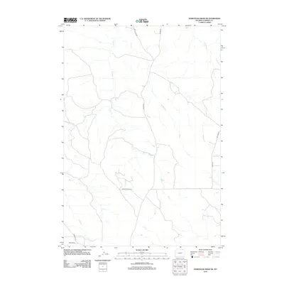
2012 Map of Homestead Draw SW
USGS Topo · Published 2012About this map
Bitter Cr meanders through the central terrain of this corner of Campbell County, defining a landscape shaped by both natural drainage and industrial infrastructure. The presence of the Apache Gas Plant Rd in the southern portion of the sheet indicates the energy sector's footprint on this ranching and grazing country in the early 21st century. This network of rural corridors, including Recluse Rd and Bitter Creek Rd, connects the drainage basins of White Tail Cr, Chalk Prong, and SA Cr. The map captures the specialized road names often tied to local landholders and resource extraction, such as Greenough Rd and Bay Horse Rd, providing a clear record of the area's development before further modernization.
Find a feature on this map
12 named features on this map. Tap any name to fly to it.
Don’t see what you’re looking for? This feature index may not catch every label — zoom into the map to look around manually.
Map Details
Editions of this 2012 Homestead Draw SW Map
This is the sole edition of this map. No revisions or reprints were ever made.
Other maps of this area

1954 · Gillette
USGS Topo · 1:250,000

1955 · Gillette
USGS Topo · 1:250,000

1958 · Gillette
USGS Topo · 1:250,000

1962 · Gillette
USGS Topo · 1:250,000
1971 · Reservoir Creek
USGS Topo · 1:24,000
1971 · Homestead Draw SW
USGS Topo · 1:24,000
1971 · Pitch Draw
USGS Topo · 1:24,000
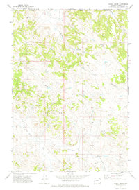
1971 · Corral Creek
USGS Topo · 1:24,000

1971 · Recluse
USGS Topo · 1:24,000
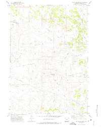
1971 · White Tail Butte
USGS Topo · 1:24,000