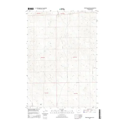
2015 Map of Homestead Draw SW
USGS Topo · Published 2015About this map
Bitter Cr carves a central path through this northern Wyoming landscape, serving as the primary drainage for a network of ephemeral streams and draws. The presence of Mill Iron Cross Reservoir in the northwest indicates the critical role of water management in this arid ranching environment. The topography is defined by significant elevation changes, particularly around Lynde Draw and the various prongs and creeks that feed into the larger basins. A spiderweb of local transit routes like Recluse Rd, Bitter Creek Rd, and Bay Horse Rd follows the natural contours of the land, connecting disparate sections of the Campbell County range. This layout reveals a traditional Western land use pattern where infrastructure is dictated by the availability of water and the undulating breaks of the high plains.
Find a feature on this map
19 named features on this map. Tap any name to fly to it.
Don’t see what you’re looking for? This feature index may not catch every label — zoom into the map to look around manually.
Map Details
Editions of this 2015 Homestead Draw SW Map
This is the sole edition of this map. No revisions or reprints were ever made.
Other maps of this area

1954 · Gillette
USGS Topo · 1:250,000

1955 · Gillette
USGS Topo · 1:250,000

1958 · Gillette
USGS Topo · 1:250,000

1962 · Gillette
USGS Topo · 1:250,000
1971 · Reservoir Creek
USGS Topo · 1:24,000
1971 · Homestead Draw SW
USGS Topo · 1:24,000
1971 · Pitch Draw
USGS Topo · 1:24,000
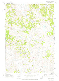
1971 · Corral Creek
USGS Topo · 1:24,000

1971 · Recluse
USGS Topo · 1:24,000
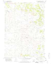
1971 · White Tail Butte
USGS Topo · 1:24,000