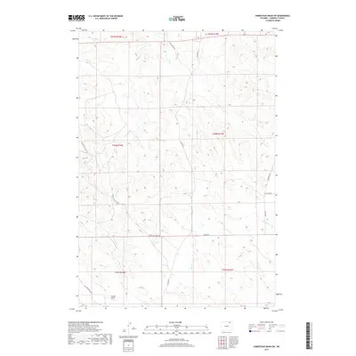
2017 Map of Homestead Draw SW
USGS Topo · Published 2017About this map
Bitter Cr and its many unnamed tributaries carve a complex drainage pattern across this portion of Campbell County, where the landscape is defined by the winding paths of White Tail Cr and Spring Cr. The presence of Apache Gas Plant Rd indicates the industrial utility of this terrain, supporting the energy infrastructure of the Powder River Basin. Near the southern boundary, the settlement of Lynde Draw sits along Greenough Rd, representing the sparse but resilient ranching and resource-based communities of northeastern Wyoming. A network of local routes such as Recluse Rd, Beason Rd, and Bitter Creek Rd provides the primary connectivity through these rolling draws. To the north, Chalk Spring serves as a localized landmark within a terrain primarily used for grazing and natural gas extraction.
Find a feature on this map
19 named features on this map. Tap any name to fly to it.
Don’t see what you’re looking for? This feature index may not catch every label — zoom into the map to look around manually.
Map Details
Editions of this 2017 Homestead Draw SW Map
This is the sole edition of this map. No revisions or reprints were ever made.
Other maps of this area

1954 · Gillette
USGS Topo · 1:250,000

1955 · Gillette
USGS Topo · 1:250,000

1958 · Gillette
USGS Topo · 1:250,000

1962 · Gillette
USGS Topo · 1:250,000
1971 · Reservoir Creek
USGS Topo · 1:24,000
1971 · Homestead Draw SW
USGS Topo · 1:24,000
1971 · Pitch Draw
USGS Topo · 1:24,000
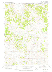
1971 · Corral Creek
USGS Topo · 1:24,000

1971 · Recluse
USGS Topo · 1:24,000
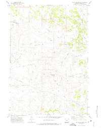
1971 · White Tail Butte
USGS Topo · 1:24,000