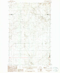
1983 Map of Homestead NW
USGS Topo · Published 1987About this map
The Fort Peck Indian Reservation landscape is defined by a network of drainage channels and agricultural markers along the border of Sheridan and Roosevelt counties. This high plains terrain is carved by the deep paths of Sauerkraut Coulee and Irish Coulee, which dictate the placement of ranching operations and isolated homesteads. The map captures a late 20th-century view of the area's rural infrastructure, where individual Grain Bins and a Gravel Pit signify the local economy's reliance on dryland farming and road maintenance.
Find a feature on this map
21 named features on this map. Tap any name to fly to it.
Don’t see what you’re looking for? This feature index may not catch every label — zoom into the map to look around manually.
Map Details
Editions of this 1983 Homestead NW Map
2 editions found
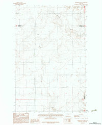
Other maps of this area

1909 · Smoke Creek
USGS Topo · 1:62,500

1912 · Smoke Creek
USGS Topo · 1:62,500

1914 · Homestead
USGS Topo · 1:62,500

1947 · Rocky Point
USGS Topo · 1:24,000

1947 · Homestead
USGS Topo · 1:24,000

1948 · Homestead
USGS Topo · 1:24,000

1948 · Rocky Point
USGS Topo · 1:24,000

1948 · Alkali Coulee
USGS Topo · 1:24,000

1949 · Alkali Coulee
USGS Topo · 1:24,000

1949 · Johnson Lake
USGS Topo · 1:24,000