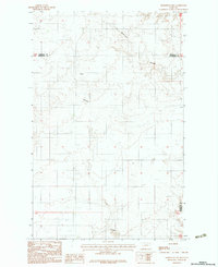
1983 Map of Homestead NW
USGS Topo · Published 1983About this map
The border of Sheridan County and Roosevelt County runs through this section of the Montana plains in the early 1980s, documenting a landscape dedicated largely to dryland agriculture. The prevalence of several Grain Bin and Grain Bins clusters across the terrain indicates a distributed network of crop storage sites characteristic of the region's wheat-farming economy. Significant natural drainage is marked by the presence of Irish Coulee and Sauerkraut Coulee, which cut through the undulating surface toward the southeast.
Find a feature on this map
9 named features on this map. Tap any name to fly to it.
Don’t see what you’re looking for? This feature index may not catch every label — zoom into the map to look around manually.
Map Details
Editions of this 1983 Homestead NW Map
2 editions found
Other maps of this area

1909 · Smoke Creek
USGS Topo · 1:62,500

1912 · Smoke Creek
USGS Topo · 1:62,500

1914 · Homestead
USGS Topo · 1:62,500

1947 · Rocky Point
USGS Topo · 1:24,000

1947 · Homestead
USGS Topo · 1:24,000

1948 · Homestead
USGS Topo · 1:24,000

1948 · Rocky Point
USGS Topo · 1:24,000

1948 · Alkali Coulee
USGS Topo · 1:24,000

1949 · Alkali Coulee
USGS Topo · 1:24,000

1949 · Johnson Lake
USGS Topo · 1:24,000