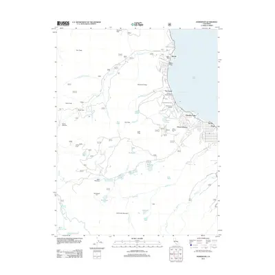
2012 Map of Homewood
USGS Topo · Published 2012About this map
The western shores of Lake Tahoe are defined here by a dense string of lakeside settlements and alpine recreation sites during the early 21st century. Stretching from Idlewild and Tahoe Pines down through Homewood and Tahoma, the shoreline is a hub of activity featuring the Homewood Seaplane Base and Chambers Lodge. In the interior, the landscape transitions from the developed edge of McKinney Bay into the Sierra Nevada high country, where the Homewood Ski Area and Tahoe Ski Bowl Area occupy the slopes of Knee Ridge.
Find a feature on this map
67 named features on this map. Tap any name to fly to it.
Don’t see what you’re looking for? This feature index may not catch every label — zoom into the map to look around manually.
Map Details
Editions of this 2012 Homewood Map
This is the sole edition of this map. No revisions or reprints were ever made.
Other maps of this area

1889 · Pyramid Peak
USGS Topo · 1:125,000

1891 · Truckee
USGS Topo · 1:125,000

1891 · Pyramid Peak
USGS Topo · 1:125,000

1893 · Truckee
USGS Topo · 1:125,000

1895 · Pyramid Peak
USGS Topo · 1:125,000

1895 · Truckee
USGS Topo · 1:125,000

1896 · Pyramid Peak
USGS Topo · 1:125,000

1932 · Truckee
USGS Topo · 1:96,000

1940 · Truckee
USGS Topo · 1:125,000

1947 · Sacramento
USGS Topo · 1:250,000