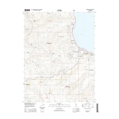
2015 Map of Homewood
USGS Topo · Published 2015About this map
Lake Tahoe dominates the eastern edge of this Sierra Nevada landscape, where the shoreline is defined by a string of residential developments and historic resorts. Small communities like Homewood, Tahoma, and Idlewild are connected by W Lake Blvd, while older named destinations like Chambers Lodge and Pomins represent the area's long-standing appeal as a mountain retreat. This 2015 survey reflects the modern intersection of private recreation and public land management, with the high-elevation backcountry split between Tahoe National Forest and Eldorado National Forest.
Find a feature on this map
70 named features on this map. Tap any name to fly to it.
Don’t see what you’re looking for? This feature index may not catch every label — zoom into the map to look around manually.
Map Details
Editions of this 2015 Homewood Map
This is the sole edition of this map. No revisions or reprints were ever made.
Other maps of this area

1889 · Pyramid Peak
USGS Topo · 1:125,000

1891 · Truckee
USGS Topo · 1:125,000

1891 · Pyramid Peak
USGS Topo · 1:125,000

1893 · Truckee
USGS Topo · 1:125,000

1895 · Pyramid Peak
USGS Topo · 1:125,000

1895 · Truckee
USGS Topo · 1:125,000

1896 · Pyramid Peak
USGS Topo · 1:125,000

1932 · Truckee
USGS Topo · 1:96,000

1940 · Truckee
USGS Topo · 1:125,000

1947 · Sacramento
USGS Topo · 1:250,000