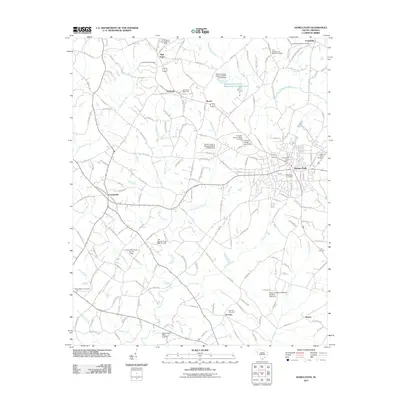
2011 Map of Honea Path
USGS Topo · Published 2011About this map
Honea Path serves as the primary hub of this Anderson County landscape, where the town's dense residential grid and the Honea Path Post Office contrast with the surrounding agricultural land. The map reveals a high concentration of generational burial sites, including the Greer Family Cemetery, Kay Cemetery, and the Friendship Baptist Cemetery to the north. These landmarks, alongside smaller settlements like Craytonville and Dosheno, reflect a pattern of rural communities traditionally centered around family farms and local churches.
Find a feature on this map
167 named features on this map. Tap any name to fly to it.
Don’t see what you’re looking for? This feature index may not catch every label — zoom into the map to look around manually.
Map Details
Editions of this 2011 Honea Path Map
This is the sole edition of this map. No revisions or reprints were ever made.
Other maps of this area

1888 · Pickens
USGS Topo · 1:125,000

1892 · Abbeville
USGS Topo · 1:125,000

1893 · Elberton
USGS Topo · 1:125,000

1894 · Pickens
USGS Topo · 1:125,000

1954 · Greenville
USGS Topo · 1:250,000

1957 · Anderson
USGS Topo · 1:62,500

1957 · Williamston
USGS Topo · 1:62,500

1958 · Greenville
USGS Topo · 1:250,000

1964 · Antreville
USGS Topo · 1:24,000

1964 · Saylors Crossroads
USGS Topo · 1:24,000