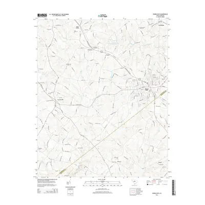
2014 Map of Honea Path
USGS Topo · Published 2014About this map
Honea Path sits at the intersection of the Belton Honea Path Hwy and Honea Path Hwy, serving as a central hub for the surrounding Piedmont countryside. This 2014 survey documents the dense network of rural roads and family settlements across the Anderson Co and Abbeville Co border. Local history is deeply embedded in the landscape through numerous ecclesiastical sites and burial grounds, including the New Broadmouth Baptist Cem, Cedar Grove Baptist Cem, and the Garden of Memories near Dosheno. The terrain is defined by the drainage of several waterways such as Broad Mouth Creek and Blue Barker Cr, which feed the Broadmouth Cr Watershed Four Reservoir. Smaller communities like Craytonville, Keowee, and Friendship are scattered throughout, maintaining the traditional settlement patterns of the South Carolina upstate.
Find a feature on this map
176 named features on this map. Tap any name to fly to it.
Don’t see what you’re looking for? This feature index may not catch every label — zoom into the map to look around manually.
Map Details
Editions of this 2014 Honea Path Map
This is the sole edition of this map. No revisions or reprints were ever made.
Other maps of this area

1888 · Pickens
USGS Topo · 1:125,000

1892 · Abbeville
USGS Topo · 1:125,000

1893 · Elberton
USGS Topo · 1:125,000

1894 · Pickens
USGS Topo · 1:125,000

1954 · Greenville
USGS Topo · 1:250,000

1957 · Anderson
USGS Topo · 1:62,500

1957 · Williamston
USGS Topo · 1:62,500

1958 · Greenville
USGS Topo · 1:250,000

1964 · Antreville
USGS Topo · 1:24,000

1964 · Saylors Crossroads
USGS Topo · 1:24,000