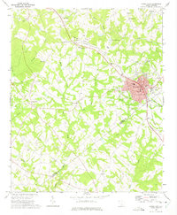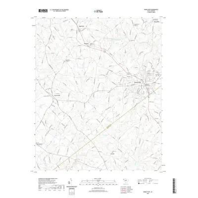
2024 Map of Honea Path
USGS Topo · Published 2024About this map
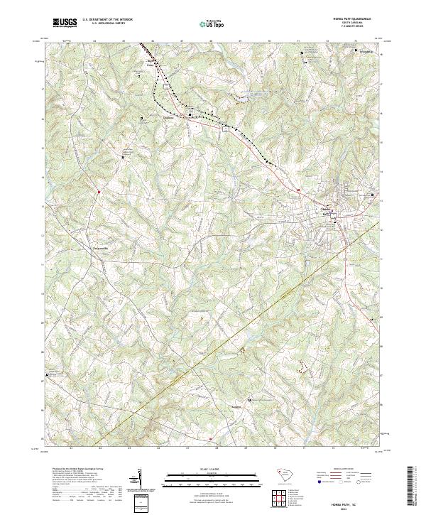
The town of Honea Path anchors this survey at the intersection of Anderson and Abbeville counties, serving as a hub for the surrounding agricultural landscape. This modern perspective reveals the persistence of early settlement patterns, particularly evident in the high density of family and congregational burial grounds such as the Greer Family Cem and the Saint James United Methodist Church Graveyard. Smaller communities like Craytonville and Keowee maintain their distinct identities along the county line, while the drainage of Broad Mouth Creek and Barkers Creek dictates the local topography.
Find a feature on this map
172 named features on this map. Tap any name to fly to it.
Don’t see what you’re looking for? This feature index may not catch every label — zoom into the map to look around manually.
Map Details
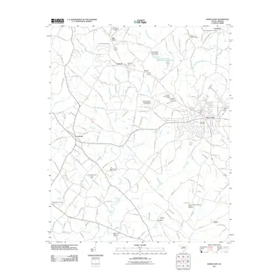
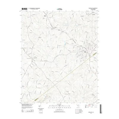
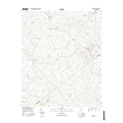
Editions of this 2024 Honea Path Map
This is the sole edition of this map. No revisions or reprints were ever made.
Historical Maps of Honea Path Through Time
6 maps found