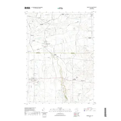
2019 Map of Honeoye Falls
USGS Topo · Published 2019About this map
Honeoye Creek winds through this varied terrain on the border of Monroe, Livingston, and Ontario Counties, defining the landscape near the village of Honeoye Falls. The map reveals a high concentration of cemeteries and local landmarks, from the Old Methodist Cem and New Methodist Cem near Lima to the Quaker Cem in the north. The presence of College Hill and regional aviation sites like Skyview Airport and Smiths Land Base Airport illustrates the area's development into a hub for education and local travel.
Find a feature on this map
91 named features on this map. Tap any name to fly to it.
Don’t see what you’re looking for? This feature index may not catch every label — zoom into the map to look around manually.
Map Details
Editions of this 2019 Honeoye Falls Map
This is the sole edition of this map. No revisions or reprints were ever made.
Other maps of this area

1895 · Rochester
USGS Topo · 1:62,500

1898 · Rochester
USGS Topo · 1:62,500

1900 · Macedon
USGS Topo · 1:62,500

1900 · Canandaigua
USGS Topo · 1:62,500

1901 · Honeoye
USGS Topo · 1:62,500

1903 · Canandaigua
USGS Topo · 1:62,500

1904 · Honeoye
USGS Topo · 1:62,500

1912 · Rochester
USGS Topo · 1:62,500

1920 · Rochester
USGS Topo · 1:62,500

1931 · Mendon Ponds
USGS Topo · 1:24,000