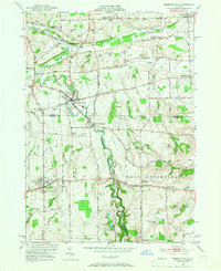
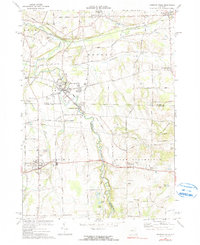
1951 Map of Honeoye Falls
USGS Topo · Published 1966About this map
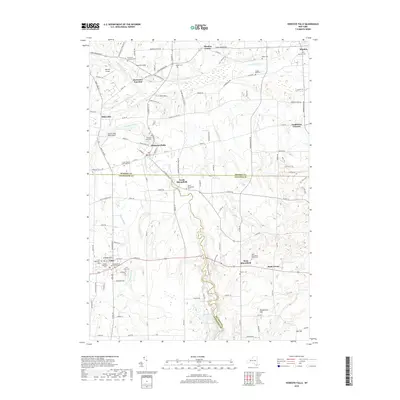
Honeoye Falls serves as the industrial and social anchor of this 1951 survey, situated at the intersection of Monroe, Livingston, and Ontario counties. The landscape is defined by the winding course of Honeoye Creek, which flows through the village toward North Bloomfield. This era captures a rural network of named corners and small settlements like Sibleyville and Mendon Center, connected by the prominent Lehigh Valley railroad line.
Find a feature on this map
46 named features on this map. Tap any name to fly to it.
Don’t see what you’re looking for? This feature index may not catch every label — zoom into the map to look around manually.
Map Details
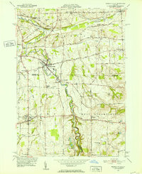
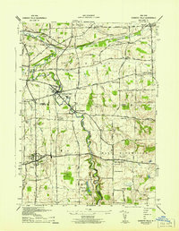
Editions of this 1951 Honeoye Falls Map
2 editions found
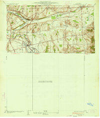
Historical Maps of Mendon Through Time
9 maps found
1934 Honeoye Falls
Monroe County, NY
1942 Honeoye Falls
Monroe County, NY
1951 Honeoye Falls
Monroe County, NY
1971 Honeoye Falls
Monroe County, NY
2010 Honeoye Falls
Monroe County, NY
2013 Honeoye Falls
Monroe County, NY
2016 Honeoye Falls
Monroe County, NY
2019 Honeoye Falls
Monroe County, NY

2023 Honeoye Falls
Monroe County, NY