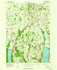
1951 Map of Honeoye
USGS Topo · Published 1961About this map
Honeoye Lake and Hemlock Lake dominate this mid-century portrait of the Finger Lakes region, where steep ridges divide narrow valleys. The northern portion of the map is defined by the winding course of Honeoye Creek as it passes through West Bloomfield and past the agricultural crossroads of Allens Hill. To the west, the Lehigh Valley railroad corridor cuts through the landscape near Lima, serving a network of small settlements and rural hamlets like Bosley Corner and Frost Hollow.
Find a feature on this map
80 named features on this map. Tap any name to fly to it.
Don’t see what you’re looking for? This feature index may not catch every label — zoom into the map to look around manually.
Map Details
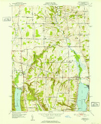
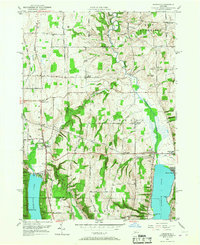
Editions of this 1951 Honeoye Map
3 editions found
Other maps of this area

1900 · Naples
USGS Topo · 1:62,500

1900 · Canandaigua
USGS Topo · 1:62,500

1901 · Honeoye
USGS Topo · 1:62,500

1902 · Wayland
USGS Topo · 1:62,500

1903 · Naples
USGS Topo · 1:62,500

1903 · Canandaigua
USGS Topo · 1:62,500

1904 · Wayland
USGS Topo · 1:62,500

1904 · Honeoye
USGS Topo · 1:62,500

1913 · Naples
USGS Topo · 1:62,500

1934 · Rush
USGS Topo · 1:24,000