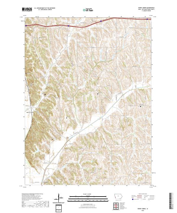
2022 Map of Honey Creek
USGS Topo · Published 2022About this map
Honey Creek and Crescent anchor this western Pottawattamie County landscape, situated where the Missouri River floodplain meets the complex drainage systems of the interior bluffs. The map reveals a dense concentration of local burial grounds, including Branson Cem, Saint Bridgett Cem, and Saint Pauls Lutheran Cem, which serve as quiet markers of the area's early settlement clusters. These sites are linked by a network of winding roads like Old Lincoln Hwy and Whippoorwill Rd that follow the natural contours between Pigeon Creek and its various branches. The proximity of Honey Cr and Simon Run highlights the importance of water management in this agricultural region, while the grid-like township divisions of t77n r44w and t77n r43w intersect with the more organic paths of the hillside trails.
Find a feature on this map
44 named features on this map. Tap any name to fly to it.
Don’t see what you’re looking for? This feature index may not catch every label — zoom into the map to look around manually.
Map Details
Editions of this 2022 Honey Creek Map
This is the sole edition of this map. No revisions or reprints were ever made.
Other maps of this area

1893 · Omaha
USGS Topo · 1:62,500

1954 · Omaha
USGS Topo · 1:250,000

1956 · Underwood
USGS Topo · 1:24,000

1956 · Council Bluffs North
USGS Topo · 1:24,000

1956 · Omaha North
USGS Topo · 1:24,000

1956 · Mc Clelland
USGS Topo · 1:24,000

1957 · Omaha
USGS Topo · 1:250,000

1957 · Loveland
USGS Topo · 1:24,000

1957 · Honey Creek
USGS Topo · 1:24,000

1958 · Omaha
USGS Topo · 1:250,000