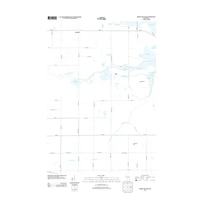
2013 Map of Honey Island
USGS Topo · Published 2013About this map
Honey Island and the surrounding wetland complex define this central Wisconsin landscape, where the Little Eau Pleine River feeds a network of flowages and reservoirs. The area's hydrology is heavily managed, evidenced by numerous named pools and flowages such as Teal Flowage, Fisher Flowage, and N Honey Island Flowage. The northern edge of the sheet is dominated by the Big Eau Pleine Reservoir, a major feature that influences the local drainage patterns of Bear Creek and Little Bear Creek.
Find a feature on this map
51 named features on this map. Tap any name to fly to it.
Don’t see what you’re looking for? This feature index may not catch every label — zoom into the map to look around manually.
Map Details
Editions of this 2013 Honey Island Map
This is the sole edition of this map. No revisions or reprints were ever made.
Other maps of this area

1902 · Marathon
USGS Topo · 1:125,000

1953 · Marathon
USGS Topo · 1:48,000

1953 · Stratford
USGS Topo · 1:48,000

1953 · Eau Claire
USGS Topo · 1:250,000

1954 · Marshfield
USGS Topo · 1:62,500

1955 · Green Bay
USGS Topo · 1:250,000

1956 · Milladore
USGS Topo · 1:48,000

1958 · Eau Claire
USGS Topo · 1:250,000

1963 · Marathon
USGS Topo · 1:62,500

1963 · Stratford
USGS Topo · 1:62,500