
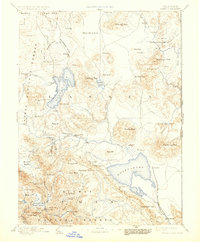
1893 Map of Honey Lake
USGS Topo · Published 1893About this map
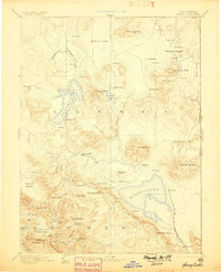
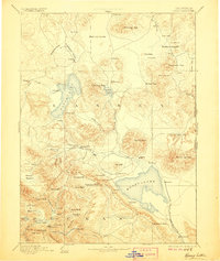
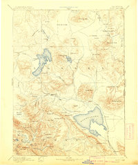
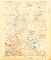
Susanville serves as the focal point of this northeastern California survey, situated near the confluence of Gold Run and Susan Creek. The landscape is dominated by the massive terminal basins of Honey Lake and Eagle Lake, joined by the smaller Horse Lake to the north. These water bodies anchor a region defined by high plains like the Madelin Plains and prominent peaks including Fredonyer Peak and Shaffer Peak.
Find a feature on this map
102 named features on this map. Tap any name to fly to it.
Don’t see what you’re looking for? This feature index may not catch every label — zoom into the map to look around manually.
Map Details
Editions of this 1893 Honey Lake Map
6 editions found
Other maps of this area

1886 · Alturas
USGS Topo · 1:250,000

1886 · Honey Lake
USGS Topo · 1:250,000

1886 · Lassen Peak
USGS Topo · 1:250,000

1886 · Modoc Lava Bed
USGS Topo · 1:250,000

1886 · Granite Range
USGS Topo · 1:250,000

1888 · Bidwell Bar
USGS Topo · 1:125,000

1889 · Long Valley
USGS Topo · 1:250,000

1890 · Sierraville
USGS Topo · 1:125,000

1891 · Bidwell Bar
USGS Topo · 1:125,000

1891 · Downieville
USGS Topo · 1:125,000