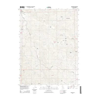
2015 Map of Honeydew
USGS Topo · Published 2015About this map
Mattole River drainage dominates this section of Humboldt County, where the steep terrain of the King Range meets a network of remote homesteads and ridges. The small settlement of Honeydew serves as a northern anchor, while the landscape to the south and east is defined by named family sites such as Scott Place, Westlund Place, and Hunter Place. These locations, often situated on flats or ridges above the river canyons, suggest a history of isolated ranching or land claims in a region defined by its verticality.
Find a feature on this map
59 named features on this map. Tap any name to fly to it.
Don’t see what you’re looking for? This feature index may not catch every label — zoom into the map to look around manually.
Map Details
Editions of this 2015 Honeydew Map
This is the sole edition of this map. No revisions or reprints were ever made.
Other maps of this area

1919 · Glynn
USGS Topo · 1:62,500

1920 · Pt. Delagda
USGS Topo · 1:62,500

1921 · Dyerville
USGS Topo · 1:62,500

1921 · Briceland
USGS Topo · 1:62,500

1949 · Eureka
USGS Topo · 1:250,000

1949 · Point Delgada
USGS Topo · 1:62,500

1949 · Garberville
USGS Topo · 1:62,500

1949 · Weott
USGS Topo · 1:62,500

1950 · Scotia
USGS Topo · 1:62,500

1951 · Scotia
USGS Topo · 1:62,500