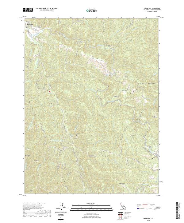
2021 Map of Honeydew
USGS Topo · Published 2021About this map
The Mattole River snakes through this remote coastal territory, where steep ridges and deep gulches define the landscape. Near the settlement of Honeydew, the terrain is marked by a complex network of ranching roads and land claims, including the historic Duncan Pre-emption and the family-named Old Hindley Ranch Rd. The geography transitions from the river valley into the high elevations of the King Range, anchored by King Peak and Miller Ridge.
Find a feature on this map
72 named features on this map. Tap any name to fly to it.
Don’t see what you’re looking for? This feature index may not catch every label — zoom into the map to look around manually.
Map Details
Editions of this 2021 Honeydew Map
This is the sole edition of this map. No revisions or reprints were ever made.
Other maps of this area

1919 · Glynn
USGS Topo · 1:62,500

1920 · Pt. Delagda
USGS Topo · 1:62,500

1921 · Dyerville
USGS Topo · 1:62,500

1921 · Briceland
USGS Topo · 1:62,500

1949 · Eureka
USGS Topo · 1:250,000

1949 · Point Delgada
USGS Topo · 1:62,500

1949 · Garberville
USGS Topo · 1:62,500

1949 · Weott
USGS Topo · 1:62,500

1950 · Scotia
USGS Topo · 1:62,500

1951 · Scotia
USGS Topo · 1:62,500