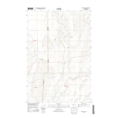
2013 Map of Honn Lakes
USGS Topo · Published 2013About this map
The Palouse River winds through the southern portion of this region, carved into the landscape alongside the drainage of Rock Creek. This area, marking the boundary between Adams and Whitman counties, is defined by its numerous small water bodies and springs scattered across the coulees and plateau. Notable among these are Lake Sixteen, Hergert Lake, and the namesake Honn Lakes. The settlement of Bull Town and the Honn Farm Airport suggest a landscape of rural activity and agricultural management. Several freshwater sources like Rollie Springs, Lehrbas Spring, and Bruihle Spring appear throughout the survey, indicating the vital importance of water access in this high-desert environment. Local transport is maintained through a network of rural routes such as N Zornes Rd and Hawks Rd, connecting isolated farmsteads and natural landmarks.
Find a feature on this map
28 named features on this map. Tap any name to fly to it.
Don’t see what you’re looking for? This feature index may not catch every label — zoom into the map to look around manually.
Map Details
Editions of this 2013 Honn Lakes Map
This is the sole edition of this map. No revisions or reprints were ever made.
Other maps of this area

1950 · La Crosse
USGS Topo · 1:62,500

1950 · Benge
USGS Topo · 1:62,500

1952 · La Crosse
USGS Topo · 1:62,500

1952 · Benge
USGS Topo · 1:62,500

1953 · Walla Walla
USGS Topo · 1:250,000

1953 · Ritzville
USGS Topo · 1:250,000

1955 · Pullman
USGS Topo · 1:250,000

1955 · Spokane
USGS Topo · 1:250,000

1958 · Spokane
USGS Topo · 1:250,000

1958 · Pullman
USGS Topo · 1:250,000