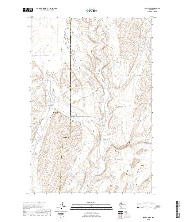
2023 Map of Honn Lakes
USGS Topo · Published 2023About this map
The Palouse River winds through the southern portion of this region along the border of Adams and Whitman Counties, defining a landscape marked by basalt coulees and scabland hydrology. Water is the primary architect of the terrain here, evident in the string of pooled water bodies such as Deep Lake, Brown Lake, and the cluster of Honn Lakes. Notable hydrological landmarks include Towell Falls along Rock Creek and several perennial water sources like Bruhle Spring and Darden Spring, which sustained early ranching efforts in this arid environment.
Find a feature on this map
27 named features on this map. Tap any name to fly to it.
Don’t see what you’re looking for? This feature index may not catch every label — zoom into the map to look around manually.
Map Details
Editions of this 2023 Honn Lakes Map
This is the sole edition of this map. No revisions or reprints were ever made.
Other maps of this area

1950 · La Crosse
USGS Topo · 1:62,500

1950 · Benge
USGS Topo · 1:62,500

1952 · La Crosse
USGS Topo · 1:62,500

1952 · Benge
USGS Topo · 1:62,500

1953 · Walla Walla
USGS Topo · 1:250,000

1953 · Ritzville
USGS Topo · 1:250,000

1955 · Pullman
USGS Topo · 1:250,000

1955 · Spokane
USGS Topo · 1:250,000

1958 · Spokane
USGS Topo · 1:250,000

1958 · Pullman
USGS Topo · 1:250,000