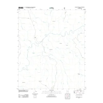
2011 Map of Hoodoo Knoll
USGS Topo · Published 2011About this map
Black River meanders across this high-country landscape, carving a complex drainage system in the Apache-Sitgreaves area. The terrain is defined by prominent elevations such as Wildcat Point and Hoodoo Knoll, providing a clear record of the watershed and livestock infrastructure in the early twenty-first century. A network of springs and tanks, including Bill Earl Spring, Perry Spring, and Maverick Tank, points to the essential water management required for this arid environment.
Find a feature on this map
60 named features on this map. Tap any name to fly to it.
Don’t see what you’re looking for? This feature index may not catch every label — zoom into the map to look around manually.
Map Details
Editions of this 2011 Hoodoo Knoll Map
This is the sole edition of this map. No revisions or reprints were ever made.
Other maps of this area

1922 · Nutrioso
USGS Topo · 1:125,000

1954 · Clifton
USGS Topo · 1:250,000

1957 · Clifton
USGS Topo · 1:250,000

1958 · Clifton
USGS Topo · 1:250,000

1958 · Hannagan Meadow
USGS Topo · 1:62,500

1958 · Big Lake
USGS Topo · 1:62,500

1962 · Clifton
USGS Topo · 1:250,000

1967 · Freezeout Mountain
USGS Topo · 1:24,000
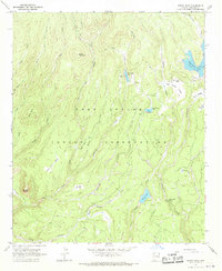
1967 · Bonito Rock
USGS Topo · 1:24,000
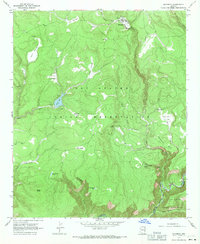
1967 · Maverick
USGS Topo · 1:24,000