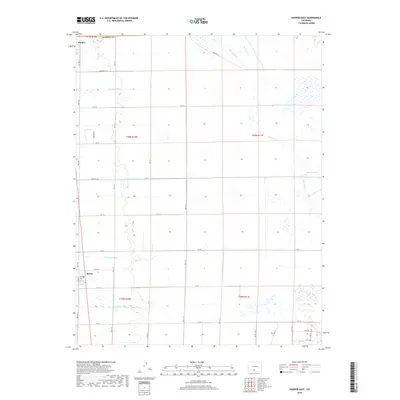
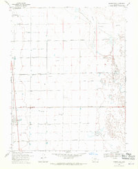
2019 Map of Hooper East
USGS Topo · Published 2019About this map
Hooper and Mosca anchor this portion of the San Luis Valley, a landscape defined by an intricate network of water management. The survey reveals how agricultural life in Alamosa County depends on man-made waterways like the Hooper Lateral, Gibson Ditch, and Prairie Ditch. These engineered channels cut across the grid of section lines, supporting the high-altitude farming operations characteristic of the region.
Find a feature on this map
41 named features on this map. Tap any name to fly to it.
Don’t see what you’re looking for? This feature index may not catch every label — zoom into the map to look around manually.
Map Details
Editions of this 2019 Hooper East Map
This is the sole edition of this map. No revisions or reprints were ever made.
Other maps of this area

1954 · Trinidad
USGS Topo · 1:250,000

1955 · Trinidad
USGS Topo · 1:250,000

1958 · Trinidad
USGS Topo · 1:250,000

1959 · Trinidad
USGS Topo · 1:250,000

1965 · Medano Ranch
USGS Topo · 1:24,000

1965 · Dry Lakes
USGS Topo · 1:24,000
1966 · Mount Pleasant School
USGS Topo · 1:24,000
1966 · Hooper SE
USGS Topo · 1:24,000
1967 · Sand Camp
USGS Topo · 1:24,000
1968 · Hooper East
USGS Topo · 1:24,000