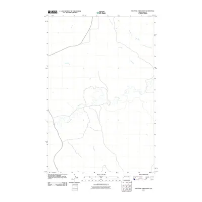
2011 Map of Hootowl Creek West
USGS Topo · Published 2011About this map
Beaver Creek meanders through this western North Dakota landscape, carving a complex drainage pattern across the high plains of Pearl Township. This 2011 survey illustrates the sparse, ranching-oriented settlement pattern characteristic of the region, where wide-open sections are occasionally punctuated by isolated reservoirs and the seasonal flow of Hootowl Creek. The map provides a clear look at the local road network and section lines that have organized this territory since the era of homesteading, capturing the quiet character of the Badlands' periphery before further modern developments altered the rural quietude.
Find a feature on this map
2 named features on this map. Tap any name to fly to it.
Don’t see what you’re looking for? This feature index may not catch every label — zoom into the map to look around manually.
Map Details
Editions of this 2011 Hootowl Creek West Map
This is the sole edition of this map. No revisions or reprints were ever made.
Other maps of this area

1909 · Glendive
USGS Topo · 1:250,000

1953 · Watford City
USGS Topo · 1:250,000

1954 · Glendive
USGS Topo · 1:250,000

1957 · Glendive
USGS Topo · 1:250,000

1957 · Watford City
USGS Topo · 1:250,000

1958 · Glendive
USGS Topo · 1:250,000

1967 · Watford City
USGS Topo · 1:250,000

1974 · Hootowl Creek West
USGS Topo · 1:24,000

1974 · Trotters SE
USGS Topo · 1:24,000

1974 · West Twin Butte
USGS Topo · 1:24,000
Featured Places
- Pearl Township, ND
- Henry Township, ND
- Elmwood Township, ND
- Elk Creek Township, ND
- Golden Valley County, ND