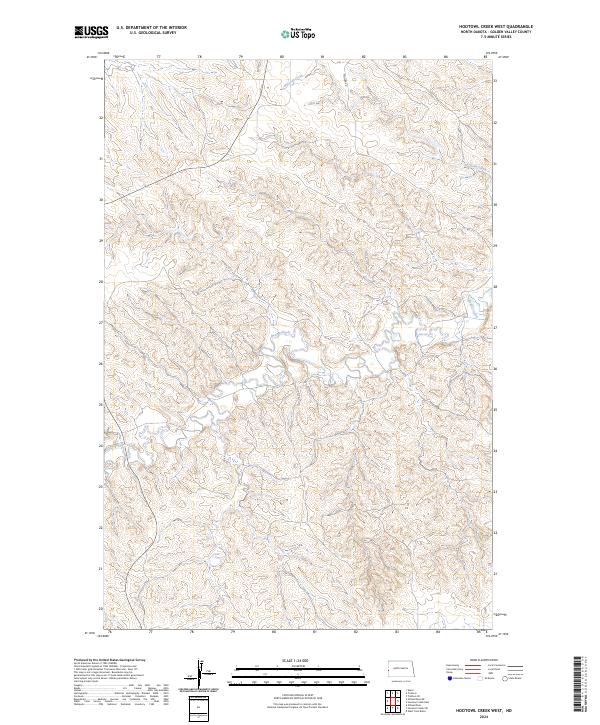
2024 Map of Hootowl Creek West
USGS Topo · Published 2024About this map
Hootowl Creek and Beaver Creek wind through the deeply dissected landscape of Golden Valley, highlighting the intricate drainage patterns of the Little Missouri River basin. This 2024 USGS survey documents a terrain defined by sharp coulees and high plateaus, where human infrastructure remains minimal. Mosher Rd provides one of the few named arterial connections through the central uplands, tracing the high ground between the creek valleys. The map illustrates the persistent influence of the Public Land Survey System, with township and range boundaries such as t144n r105w and t143n r104w overlaying the complex topography. It captures the modern character of this rural North Dakota landscape, where the natural contours of the Badlands dominate over sparse development, offering a clear record of current land use and hydrography for researchers and land managers.
Find a feature on this map
9 named features on this map. Tap any name to fly to it.
Don’t see what you’re looking for? This feature index may not catch every label — zoom into the map to look around manually.
Map Details
Editions of this 2024 Hootowl Creek West Map
This is the sole edition of this map. No revisions or reprints were ever made.
Other maps of this area

1909 · Glendive
USGS Topo · 1:250,000

1953 · Watford City
USGS Topo · 1:250,000

1954 · Glendive
USGS Topo · 1:250,000

1957 · Glendive
USGS Topo · 1:250,000

1957 · Watford City
USGS Topo · 1:250,000

1958 · Glendive
USGS Topo · 1:250,000

1967 · Watford City
USGS Topo · 1:250,000

1974 · Hootowl Creek West
USGS Topo · 1:24,000

1974 · Trotters SE
USGS Topo · 1:24,000

1974 · West Twin Butte
USGS Topo · 1:24,000
Featured Places
- Pearl Township, ND
- Elk Creek Township, ND
- Henry Township, ND
- Elmwood Township, ND
- Golden Valley County, ND