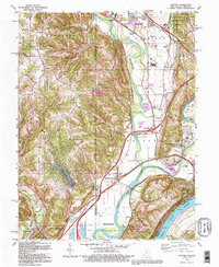
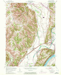
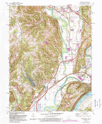
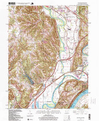
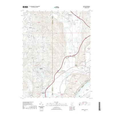
1992 Map of Hooven
USGS Topo · Published 1995About this map
The Ohio River and Great Miami River converge in this tri-state border region, creating a complex landscape of fertile bottomlands and river bluffs. The river-driven economy is evident through numerous Gravel Pits and the heavy rail presence of Conrail, which services industrial points like Hooven and Valley Junction. This geography is shaped by water, from the recreation at Hidden Valley Lake and Long Island Beach to the protected expanses of Miami Whitewater Forest and the Great Miami River State Wildlife Area.
Find a feature on this map
60 named features on this map. Tap any name to fly to it.
Don’t see what you’re looking for? This feature index may not catch every label — zoom into the map to look around manually.
Map Details
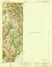
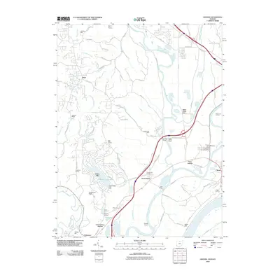
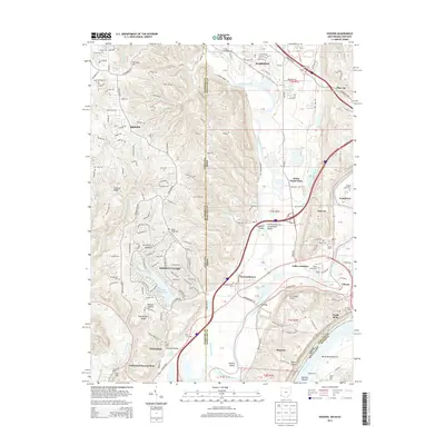
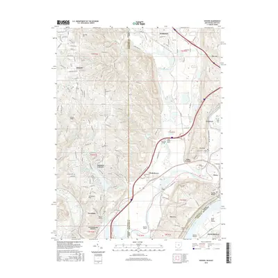
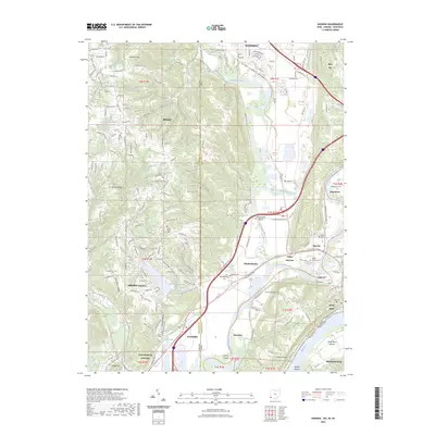
Editions of this 1992 Hooven Map
This is the sole edition of this map. No revisions or reprints were ever made.
Historical Maps of Harrison Through Time
10 maps found
1943 Hooven
Hamilton County, OH
1954 Hooven
Hamilton County, OH
1981 Hooven
Hamilton County, OH
1992 Hooven
Hamilton County, OH
1996 Hooven
Hamilton County, OH
2010 Hooven
Hamilton County, OH
2013 Hooven
Hamilton County, OH
2016 Hooven
Hamilton County, OH
2019 Hooven
Hamilton County, OH
2023 Hooven
Hamilton County, OH
Featured Locations
- Harrison Township, IN
- Harrison, Harrison Township
- Greendale, Lawrenceburg Township
- Cleves, Miami Township
- North Bend, Miami Township