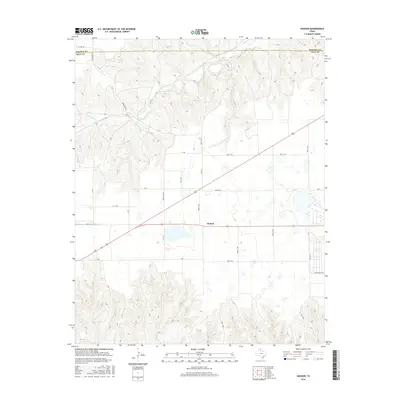
2016 Map of Hoover
USGS Topo · Published 2016About this map
Heaton stands as the primary point of interest in this section of the Texas Panhandle, positioned along a transportation corridor that cuts through the agricultural landscape. The terrain is defined by the winding course of Red Deer Cr and White Cr, which carve through the high plains topography. This 2016 survey illustrates the organized grid of rural infrastructure, where routes like Lindel Dairy Rd and Ranch Rd 2391 provide access to the vast ranchlands and farming plots. The boundary between Roberts Co and Gray Co is clearly demarcated, showing how political lines bisect the natural drainages and cattle country. This map offers a clear view of the modern rural layout of the region, emphasizing the relationship between water sources and the road network required for large-scale ranching operations.
Find a feature on this map
25 named features on this map. Tap any name to fly to it.
Don’t see what you’re looking for? This feature index may not catch every label — zoom into the map to look around manually.
Map Details
Editions of this 2016 Hoover Map
This is the sole edition of this map. No revisions or reprints were ever made.
Other maps of this area

1954 · Amarillo
USGS Topo · 1:250,000

1958 · Amarillo
USGS Topo · 1:250,000

1962 · Pond Creek NW
USGS Topo · 1:24,000

1963 · Pampa
USGS Topo · 1:24,000

1966 · Laketon
USGS Topo · 1:24,000

1966 · Bowers City
USGS Topo · 1:24,000

1967 · Lefors
USGS Topo · 1:24,000

1967 · Hoover
USGS Topo · 1:24,000

1971 · Pampa NW
USGS Topo · 1:24,000

1972 · Pampa NE
USGS Topo · 1:24,000