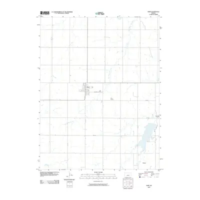
2009 Map of Hope
USGS Topo · Published 2009About this map
Hope serves as the central hub of this Dickinson County landscape, situated where N Main St intersects with the east-west corridor of Broadway St. The town's grid is surrounded by an agricultural expanse defined by long-distance section roads like Nail Rd and Mink Rd. To the east, the Saint Phillips Cemetery stands as a focal point for local genealogy, while the small settlement of Rishel sits near the southern edge of the quadrangle.
Find a feature on this map
17 named features on this map. Tap any name to fly to it.
Don’t see what you’re looking for? This feature index may not catch every label — zoom into the map to look around manually.
Map Details
Editions of this 2009 Hope Map
This is the sole edition of this map. No revisions or reprints were ever made.
Other maps of this area

1889 · Abilene
USGS Topo · 1:125,000

1889 · Parkerville
USGS Topo · 1:125,000

1894 · Abilene
USGS Topo · 1:125,000

1894 · Parkerville
USGS Topo · 1:125,000

1955 · Hutchinson
USGS Topo · 1:250,000

1959 · Hutchinson
USGS Topo · 1:250,000

1963 · Abilene SW
USGS Topo · 1:24,000

1964 · Elmo
USGS Topo · 1:24,000

1964 · Ramona
USGS Topo · 1:24,000

1964 · Navarre
USGS Topo · 1:24,000