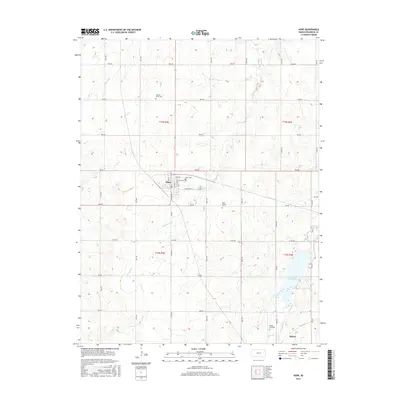
2015 Map of Hope
USGS Topo · Published 2015About this map
Hope serves as the central hub for this Dickinson County landscape, where the grid of residential streets like North Main Street and East Broadway Street meets the sprawling agricultural surroundings. The map reveals a deeply rooted community history preserved in local burial sites, ranging from the Hope Cemetery on the town's edge to the more secluded Pilgrims Home Cemetery and Saint Phillips Cemetery. To the south, the terrain descends toward the banks of Lyon Creek and its tributary, West Branch Lyon Creek. This water network culminates at the Herington Reservoir in the southeast corner, a significant local landmark that influences the drainage and topography of the area. Near the southern boundary, the small settlement of Rishel and the Biehler Gravesite offer further points of interest for those tracing the family histories and rural developments of this Kansas prairie region.
Find a feature on this map
38 named features on this map. Tap any name to fly to it.
Don’t see what you’re looking for? This feature index may not catch every label — zoom into the map to look around manually.
Map Details
Editions of this 2015 Hope Map
This is the sole edition of this map. No revisions or reprints were ever made.
Other maps of this area

1889 · Abilene
USGS Topo · 1:125,000

1889 · Parkerville
USGS Topo · 1:125,000

1894 · Abilene
USGS Topo · 1:125,000

1894 · Parkerville
USGS Topo · 1:125,000

1955 · Hutchinson
USGS Topo · 1:250,000

1959 · Hutchinson
USGS Topo · 1:250,000

1963 · Abilene SW
USGS Topo · 1:24,000

1964 · Elmo
USGS Topo · 1:24,000

1964 · Ramona
USGS Topo · 1:24,000

1964 · Navarre
USGS Topo · 1:24,000