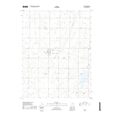
2018 Map of Hope
USGS Topo · Published 2018About this map
The city of Hope anchors this landscape in Dickinson County, defined by its rectilinear grid of streets including N Main St and E Broadway St. This portion of central Kansas is deeply etched by the drainage of Lyon Creek, where the main channel and the W Br Lyon Cr cut through the undulating prairie. The map provides significant detail for genealogical researchers, documenting several historic burial grounds such as Hope Cem, the Pilgrims Home Cem to the north, and the Biehler Gravesite near the southern settlement of Rishel. Church-affiliated sites like the Saint Johns Lutheran Cem and Saint Phillip's Catholic Cem reflect the community's early cultural roots. The surrounding agricultural sections are neatly divided by a network of rural roads like Mink Rd and Sage Rd, illustrating the enduring township and range system typical of the Great Plains.
Find a feature on this map
39 named features on this map. Tap any name to fly to it.
Don’t see what you’re looking for? This feature index may not catch every label — zoom into the map to look around manually.
Map Details
Editions of this 2018 Hope Map
This is the sole edition of this map. No revisions or reprints were ever made.
Other maps of this area

1889 · Abilene
USGS Topo · 1:125,000

1889 · Parkerville
USGS Topo · 1:125,000

1894 · Abilene
USGS Topo · 1:125,000

1894 · Parkerville
USGS Topo · 1:125,000

1955 · Hutchinson
USGS Topo · 1:250,000

1959 · Hutchinson
USGS Topo · 1:250,000

1963 · Abilene SW
USGS Topo · 1:24,000

1964 · Elmo
USGS Topo · 1:24,000

1964 · Ramona
USGS Topo · 1:24,000

1964 · Navarre
USGS Topo · 1:24,000