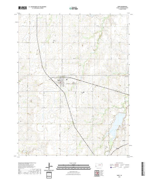
2022 Map of Hope
USGS Topo · Published 2022About this map
Hope serves as the central hub for this portion of Dickinson County, situated at the intersection of 700 Ave and Paint Rd. The landscape is defined by the headwaters of Carry Cr and the winding reaches of W Br Lyon Cr, which flow through a grid-work of local roads including Nail Rd and Mink Rd. Evidence of the area's pioneer roots is visible through its scattered rural burials, notably at the Pilgrim Home Cem and the Biehler Gravesite near the southeastern corner. The settlement of Rishel sits along the southern edge of a significant water body formed by Lyon Cr, while smaller sites like Saint Johns Lutheran Cem punctuate the eastern sections. This survey documents the persistent agricultural character of the Kansas plains, where small towns and family-named cemeteries remain the primary markers of habitation.
Find a feature on this map
34 named features on this map. Tap any name to fly to it.
Don’t see what you’re looking for? This feature index may not catch every label — zoom into the map to look around manually.
Map Details
Editions of this 2022 Hope Map
This is the sole edition of this map. No revisions or reprints were ever made.
Other maps of this area

1889 · Abilene
USGS Topo · 1:125,000

1889 · Parkerville
USGS Topo · 1:125,000

1894 · Abilene
USGS Topo · 1:125,000

1894 · Parkerville
USGS Topo · 1:125,000

1955 · Hutchinson
USGS Topo · 1:250,000

1959 · Hutchinson
USGS Topo · 1:250,000

1963 · Abilene SW
USGS Topo · 1:24,000

1964 · Elmo
USGS Topo · 1:24,000

1964 · Ramona
USGS Topo · 1:24,000

1964 · Navarre
USGS Topo · 1:24,000