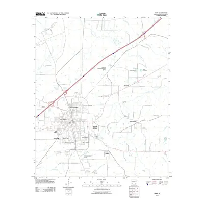
2011 Map of Hope
USGS Topo · Published 2011About this map
Hope serves as the central hub of this Hempstead County landscape, where the town’s growth is evidenced by a dense collection of residential developments including Magnolia Addition, Frisco Addition, and Beverly Hills. The landscape transitions from the urbanized center to specialized educational and agricultural facilities such as the University of Arkansas Experiment Station to the north and the University of Arkansas Community College At Hope to the south. Historically significant sites for genealogists include several local burial grounds, notably Rose Hill Cemetery and Robinson Cemetery, along with more remote locations like Ayers Cemetery. The natural geography is defined by a network of waterways that drain the region, including Terre Rouge Creek, Bodcau Creek, and Pate Creek. To the east, the terrain rises toward Rocky Mound Hill, while engineered water features like Sow Pond and Wino Lake suggest the region's managed water resources for agriculture and recreation.
Find a feature on this map
111 named features on this map. Tap any name to fly to it.
Don’t see what you’re looking for? This feature index may not catch every label — zoom into the map to look around manually.
Map Details
Editions of this 2011 Hope Map
This is the sole edition of this map. No revisions or reprints were ever made.
Other maps of this area

1901 · Gurdon
USGS Topo · 1:125,000

1951 · Blevins
USGS Topo · 1:24,000

1951 · Patmos
USGS Topo · 1:24,000

1951 · Sheppard
USGS Topo · 1:24,000

1951 · Spring Hill
USGS Topo · 1:24,000

1951 · Washington
USGS Topo · 1:24,000

1951 · Hope
USGS Topo · 1:24,000

1953 · El Dorado
USGS Topo · 1:250,000

1957 · El Dorado
USGS Topo · 1:250,000

1958 · El Dorado
USGS Topo · 1:250,000