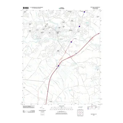
2010 Map of Hope Mills
USGS Topo · Published 2010About this map
Hope Mills is the centerpiece of this southern Cumberland County landscape, situated where Little Rockfish Creek meets Rockfish Creek. The map documents a period of significant residential expansion, with numerous developments like Eaglewood Forest, Clifton Forge, and Breezewood Acres framing the central town. Infrastructure is a defining element, from the Hope Mills Dam Number One at Hope Mills Lake to the complex transportation network including the Hope Mills Bypass. To the south, the terrain of the Atlantic Coastal Plain transitions into more rural areas such as Roslin and McMillan. Genealogical interests are served by the inclusion of several burial sites, including the Adcox Cemetery near the town center and the Nicholson Cemetery to the west. This survey also captures the proximity of the Fayetteville Municipal Airport and the recreational waters of Lake Charles and Lake Lynn.
Find a feature on this map
95 named features on this map. Tap any name to fly to it.
Don’t see what you’re looking for? This feature index may not catch every label — zoom into the map to look around manually.
Map Details
Editions of this 2010 Hope Mills Map
This is the sole edition of this map. No revisions or reprints were ever made.
Other maps of this area

1948 · Fayetteville
USGS Topo · 1:62,500

1948 · Clifdale
USGS Topo · 1:62,500

1948 · Clifdale
USGS Topo · 1:24,000

1949 · Vander
USGS Topo · 1:24,000

1950 · Clifdale
USGS Topo · 1:24,000

1950 · Fayetteville
USGS Topo · 1:24,000

1951 · Clifdale
USGS Topo · 1:62,500

1953 · Florence
USGS Topo · 1:250,000

1953 · Raleigh
USGS Topo · 1:250,000

1954 · Florence
USGS Topo · 1:250,000