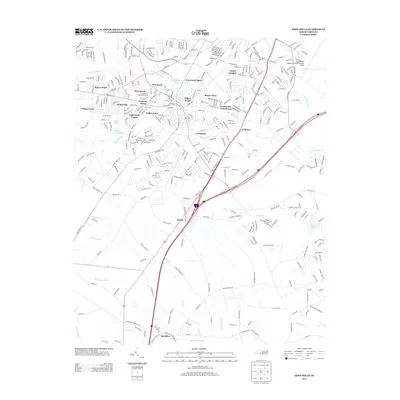
2013 Map of Hope Mills
USGS Topo · Published 2013About this map
Hope Mills Lake serves as a central point for the residential communities south of Fayetteville, where the winding path of Rockfish Creek and its many tributaries define the local geography. In the early 21st century, this area shows significant suburban development through neighborhoods like Eaglewood Forest, Timberlake, and Golfer Acres. The landscape transitions from the dense residential clusters of Stoney Point in the northwest to the more open, swampy terrain of Buckhorn Swamp and Dums Marsh in the south. Aviation infrastructure is a prominent feature on the eastern edge of the map at Fayetteville Regional Airport/Grannis Field. Moving toward the southern boundary, the map records more traditional rural place names such as McMillan and Roslin, connected by long-established routes like Roslin Farm Road and Swans Creek Church Road.
Find a feature on this map
94 named features on this map. Tap any name to fly to it.
Don’t see what you’re looking for? This feature index may not catch every label — zoom into the map to look around manually.
Map Details
Editions of this 2013 Hope Mills Map
This is the sole edition of this map. No revisions or reprints were ever made.
Other maps of this area

1948 · Fayetteville
USGS Topo · 1:62,500

1948 · Clifdale
USGS Topo · 1:62,500

1948 · Clifdale
USGS Topo · 1:24,000

1949 · Vander
USGS Topo · 1:24,000

1950 · Clifdale
USGS Topo · 1:24,000

1950 · Fayetteville
USGS Topo · 1:24,000

1951 · Clifdale
USGS Topo · 1:62,500

1953 · Florence
USGS Topo · 1:250,000

1953 · Raleigh
USGS Topo · 1:250,000

1954 · Florence
USGS Topo · 1:250,000