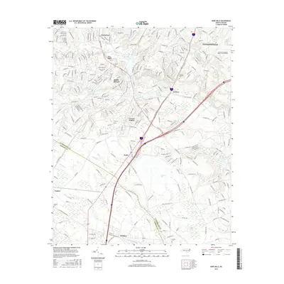
2016 Map of Hope Mills
USGS Topo · Published 2016About this map
Hope Mills sits at the heart of this landscape south of Fayetteville, where the suburban expansion of the 21st century meets the low-lying wetlands of the coastal plain. The map documents the dense residential development in Colonial Heights and Pine Knoll, juxtaposed against the natural drainage systems of Rockfish Creek and Beaver Cr. In the southern portion of the sheet, the terrain shifts into a more rural and swampy character, defined by features like Gallberry Bay and Odom Bay.
Find a feature on this map
257 named features on this map. Tap any name to fly to it.
Don’t see what you’re looking for? This feature index may not catch every label — zoom into the map to look around manually.
Map Details
Editions of this 2016 Hope Mills Map
This is the sole edition of this map. No revisions or reprints were ever made.
Other maps of this area

1948 · Fayetteville
USGS Topo · 1:62,500

1948 · Clifdale
USGS Topo · 1:62,500

1948 · Clifdale
USGS Topo · 1:24,000

1949 · Vander
USGS Topo · 1:24,000

1950 · Clifdale
USGS Topo · 1:24,000

1950 · Fayetteville
USGS Topo · 1:24,000

1951 · Clifdale
USGS Topo · 1:62,500

1953 · Florence
USGS Topo · 1:250,000

1953 · Raleigh
USGS Topo · 1:250,000

1954 · Florence
USGS Topo · 1:250,000