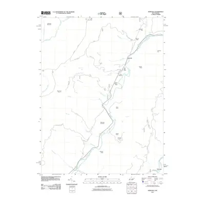
2011 Map of Hopeville
USGS Topo · Published 2011About this map
The North Fork South Branch Potomac River carves a deep valley through the high ridges of the Allegheny Front, anchoring this 2011 survey of the Hopeville and Ketterman areas. The landscape is defined by its dramatic verticality, with named peaks like Breathed Mountain and Skidmore Mountain rising above the river corridor. Evidence of the region’s wilderness management is found at the Bell Knob Lookout Tower and the sprawling Red Creek Plains. Along the water, geological landmarks such as Champe Rocks and the Yellow Rocks standout as significant navigational points. The winding paths of Smoke Hole Rd and Dolly Sods Rd follow the natural contours of the land, providing access to the more remote corners of the quadrangle including Long Hollow and the narrow passage of Hopeville Gap.
Find a feature on this map
46 named features on this map. Tap any name to fly to it.
Don’t see what you’re looking for? This feature index may not catch every label — zoom into the map to look around manually.
Map Details
Editions of this 2011 Hopeville Map
This is the sole edition of this map. No revisions or reprints were ever made.
Other maps of this area

1892 · Franklin
USGS Topo · 1:125,000

1895 · Piedmont
USGS Topo · 1:125,000

1896 · Franklin
USGS Topo · 1:125,000

1916 · Davis
USGS Topo · 1:48,000

1918 · Davis
USGS Topo · 1:62,500

1919 · Davis
USGS Topo · 1:62,500

1920 · Davis
USGS Topo · 1:48,000

1920 · Petersburg
USGS Topo · 1:48,000

1920 · Onego
USGS Topo · 1:62,500

1921 · Petersburg
USGS Topo · 1:48,000