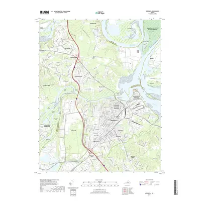
2019 Map of Hopewell
USGS Topo · Published 2019About this map
The Appomattox and James River confluence anchors this geographic record, documenting the historic port of City Point and the surrounding Hopewell area. The landscape is a complex network of river bends and tidal features, including the Jones Neck Cutoff and Turkey Island Cutoff, which have reshaped the path of these vital waterways. Civil War history is deeply etched into the terrain at the Petersburg National Battlefield and the City Point National Cemetery.
Find a feature on this map
70 named features on this map. Tap any name to fly to it.
Don’t see what you’re looking for? This feature index may not catch every label — zoom into the map to look around manually.
Map Details
Editions of this 2019 Hopewell Map
This is the sole edition of this map. No revisions or reprints were ever made.
Other maps of this area

1894 · Bermuda Hundred
USGS Topo · 1:62,500

1894 · Petersburg
USGS Topo · 1:62,500

1918 · Charles City
USGS Topo · 1:62,500

1919 · Disputanta
USGS Topo · 1:62,500

1938 · Dutch Gap
USGS Topo · 1:24,000

1938 · Drewrys Bluff
USGS Topo · 1:24,000

1943 · Dutch Gap
USGS Topo · 1:31,680

1943 · Hopewell
USGS Topo · 1:31,680

1943 · Disputanta
USGS Topo · 1:31,680

1943 · Richmond
USGS Topo · 1:250,000