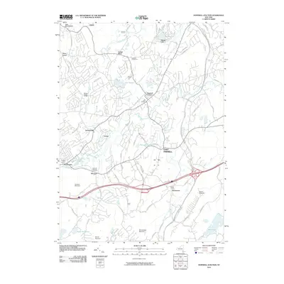
2010 Map of Hopewell Junction
USGS Topo · Published 2010About this map
East Fishkill is characterized by its network of creeks and small settlements in this 2010 survey of the Hudson Valley. The landscape is defined by the convergence of Sprout Creek, Whortlekill Creek, and Fishkill Creek, which flow through various residential clusters and agricultural holdings. Several family-named sites and farms, such as Kohlmaier Farm and Fishkill Farms, illustrate the area's agricultural legacy, while the presence of the Sabellico Greenhouse points to localized industry.
Find a feature on this map
83 named features on this map. Tap any name to fly to it.
Don’t see what you’re looking for? This feature index may not catch every label — zoom into the map to look around manually.
Map Details
Editions of this 2010 Hopewell Junction Map
This is the sole edition of this map. No revisions or reprints were ever made.
Other maps of this area

1892 · West Point
USGS Topo · 1:62,500

1892 · Carmel
USGS Topo · 1:62,500

1893 · Carmel
USGS Topo · 1:62,500

1893 · Clove
USGS Topo · 1:62,500

1893 · Poughkeepsie
USGS Topo · 1:62,500

1894 · West Point
USGS Topo · 1:62,500

1894 · Clove
USGS Topo · 1:62,500

1894 · Carmel
USGS Topo · 1:62,500

1894 · Poughkeepsie
USGS Topo · 1:62,500

1898 · Clove
USGS Topo · 1:62,500