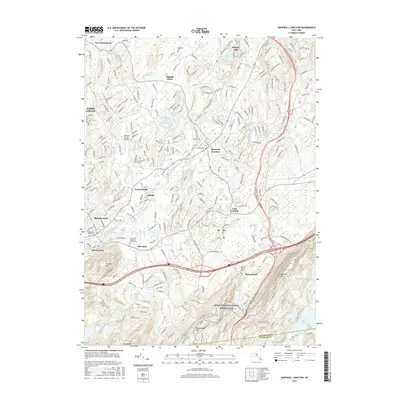
2016 Map of Hopewell Junction
USGS Topo · Published 2016About this map
Hopewell Junction serves as the central hub of this Dutchess County landscape, where the paths of modern infrastructure and early American settlement meet. The map documents a dense network of suburban development and historical pockets, including the communities of Wiccopee, Swartoutville, and Shenandoah. For those researching local lineages, several burial grounds are preserved across the area, from the Johnsville Methodist Churchyard to the Van Wyck Cem and Rombout Rural Cem.
Find a feature on this map
36 named features on this map. Tap any name to fly to it.
Don’t see what you’re looking for? This feature index may not catch every label — zoom into the map to look around manually.
Map Details
Editions of this 2016 Hopewell Junction Map
This is the sole edition of this map. No revisions or reprints were ever made.
Other maps of this area

1892 · West Point
USGS Topo · 1:62,500

1892 · Carmel
USGS Topo · 1:62,500

1893 · Carmel
USGS Topo · 1:62,500
1893 · Clove
USGS Topo · 1:62,500
1893 · Poughkeepsie
USGS Topo · 1:62,500

1894 · West Point
USGS Topo · 1:62,500
1894 · Clove
USGS Topo · 1:62,500
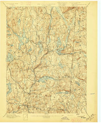
1894 · Carmel
USGS Topo · 1:62,500
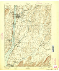
1894 · Poughkeepsie
USGS Topo · 1:62,500
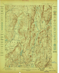
1898 · Clove
USGS Topo · 1:62,500